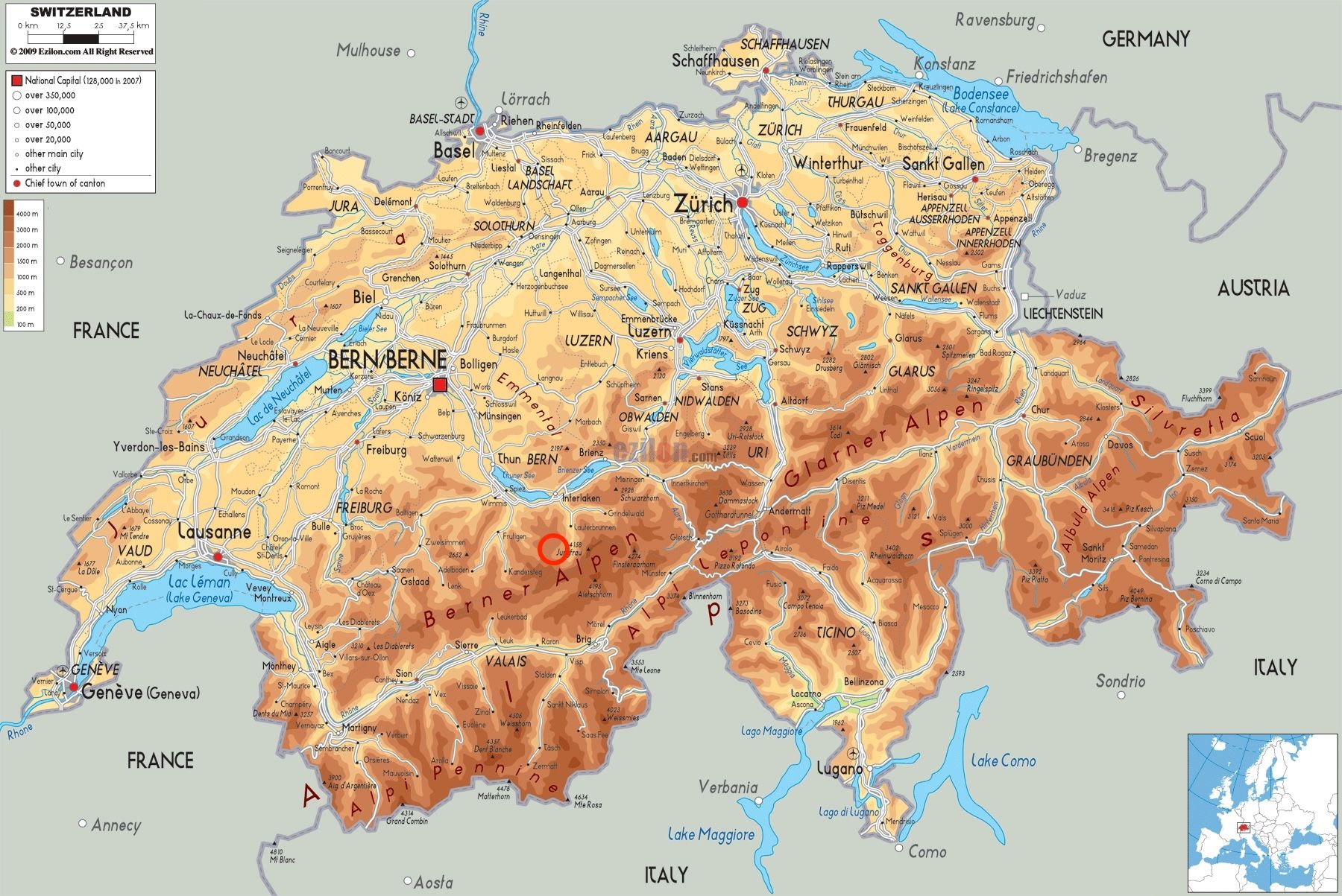
Map
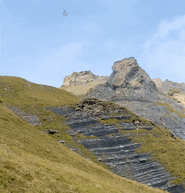
This mountain has a cable car that goes all the way to the summit. I wanted to take the more scenic route.
Starting out from Gimmelwald early in the morning, you can start walking up.
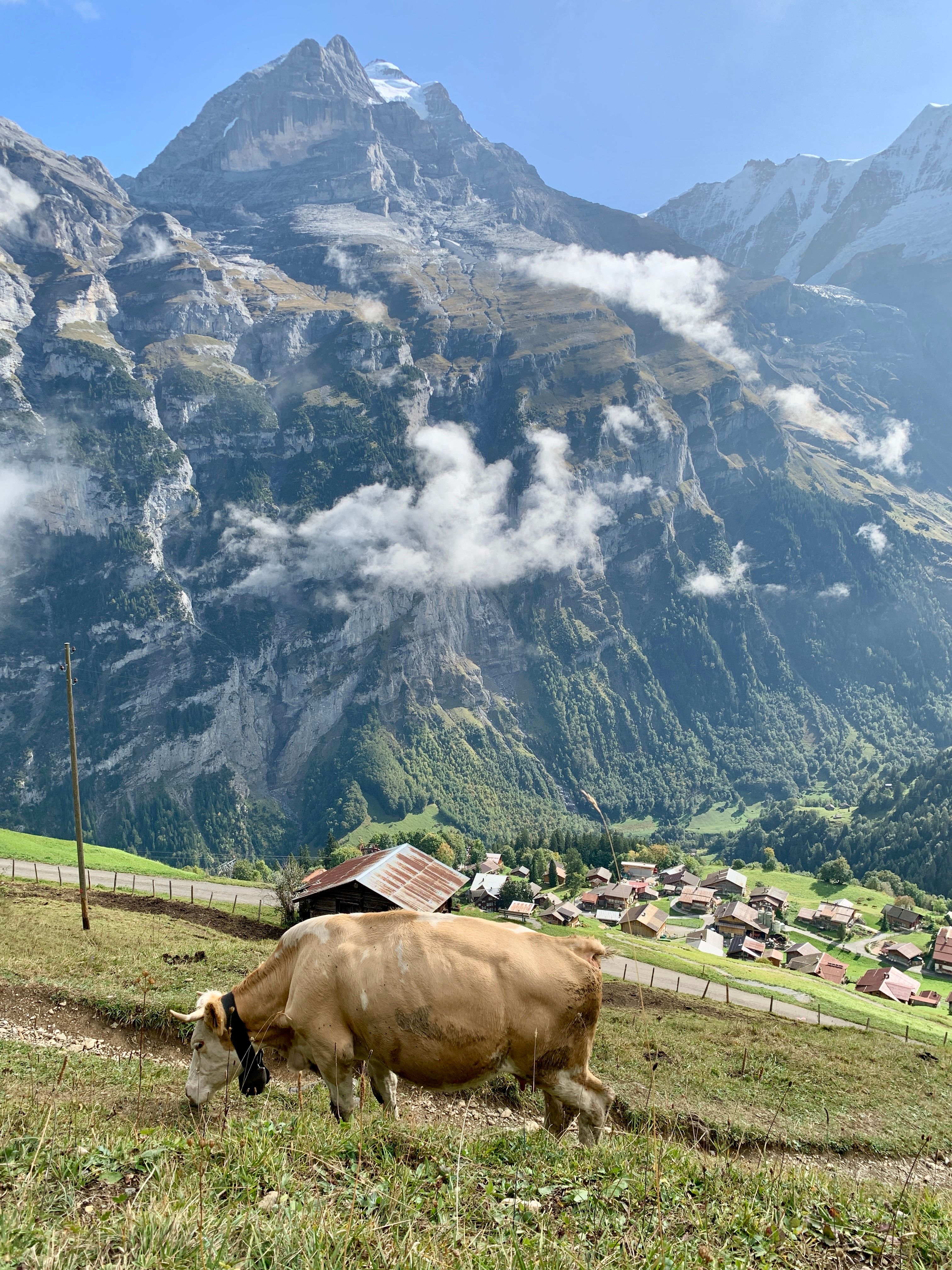
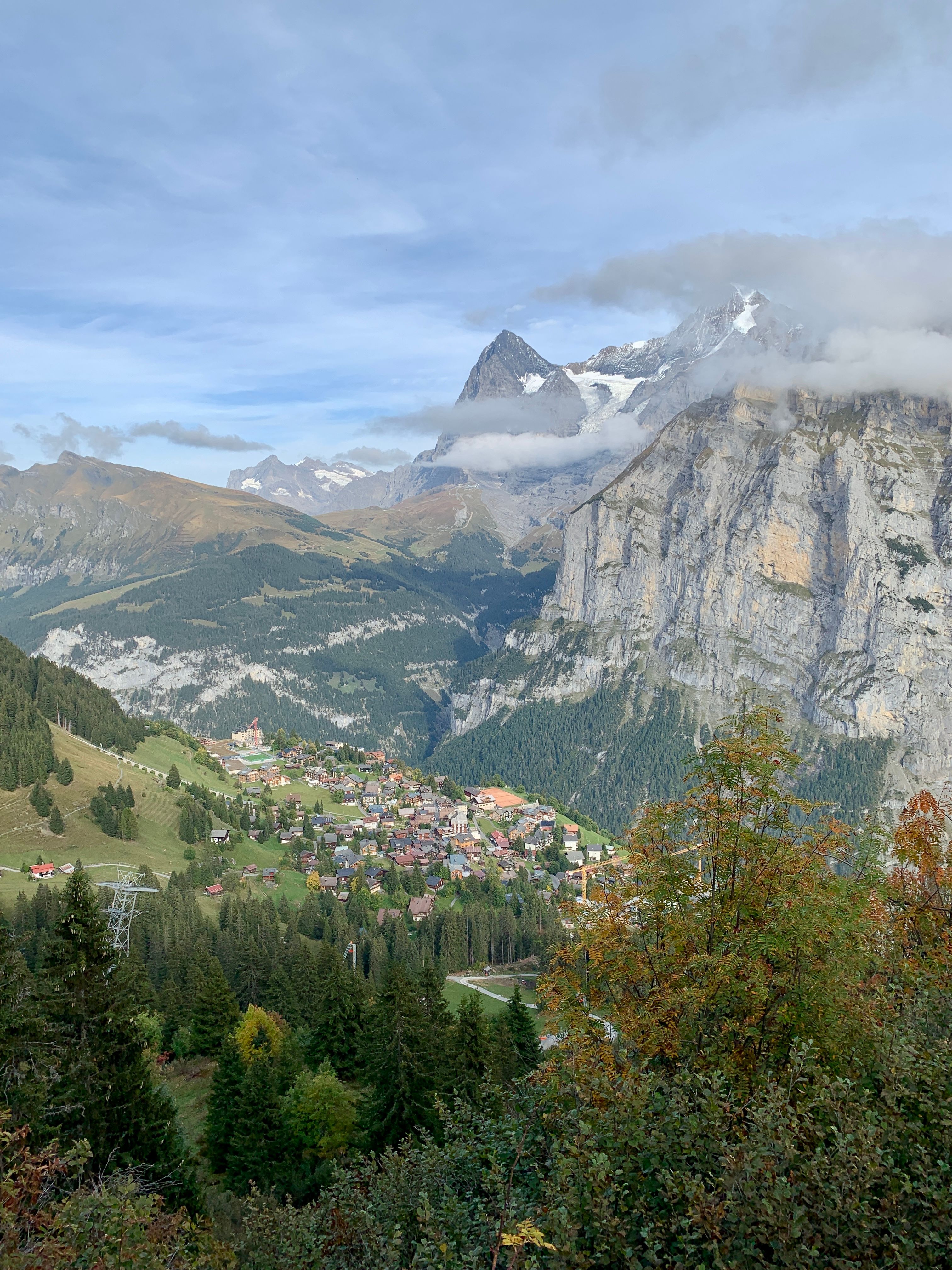
Gimmelwald & Jungfrau
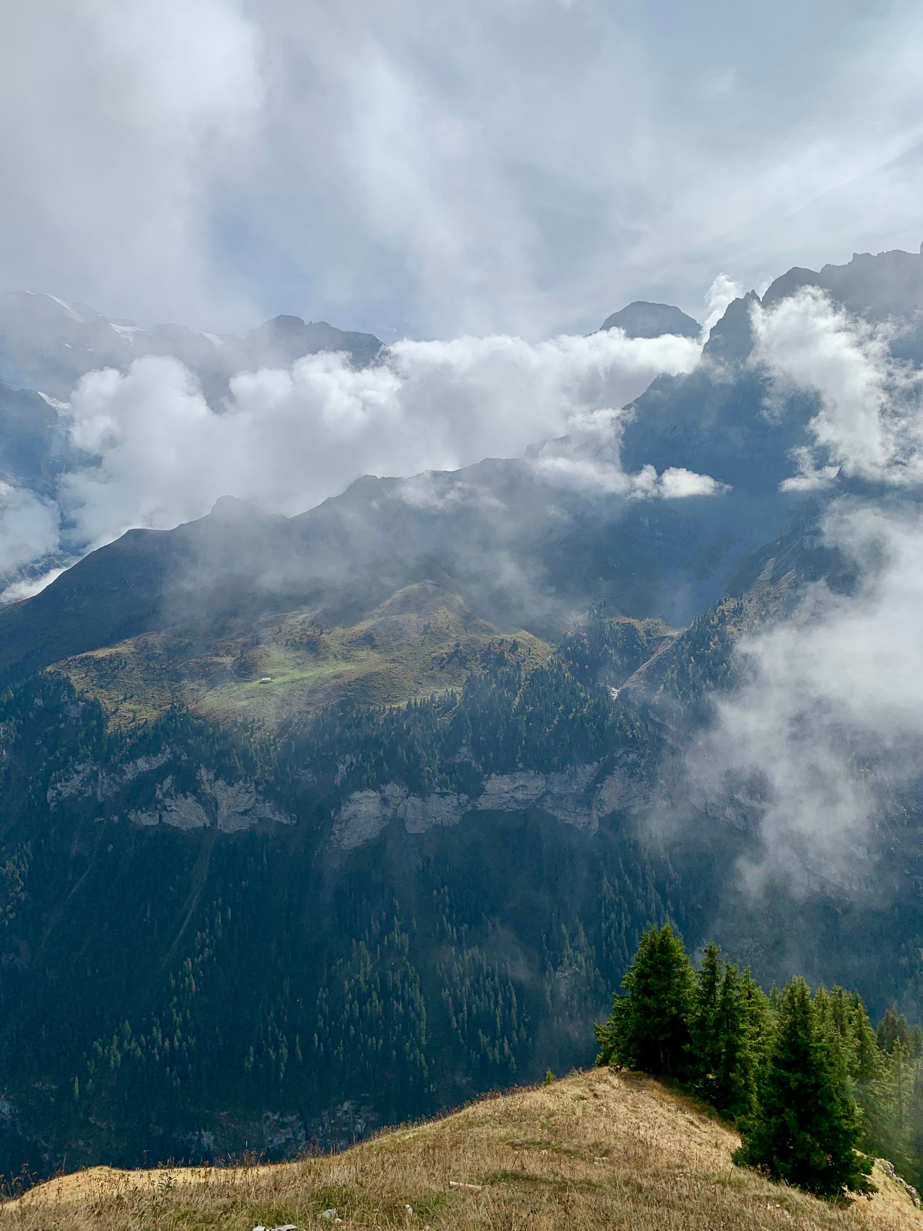
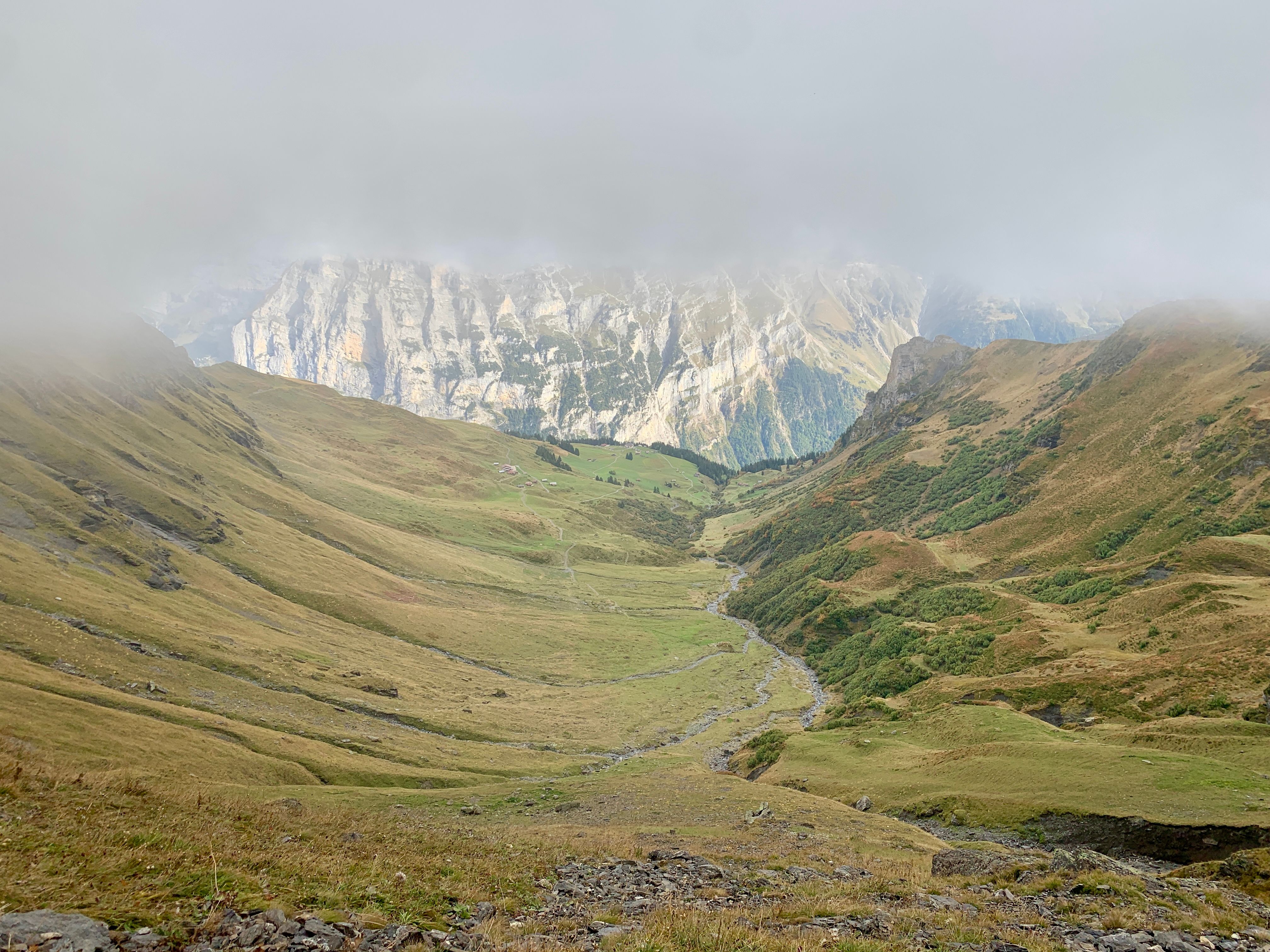
I could now get a sense for how tall these mountains were.
There was some great cloud cover.
 |  |
|---|
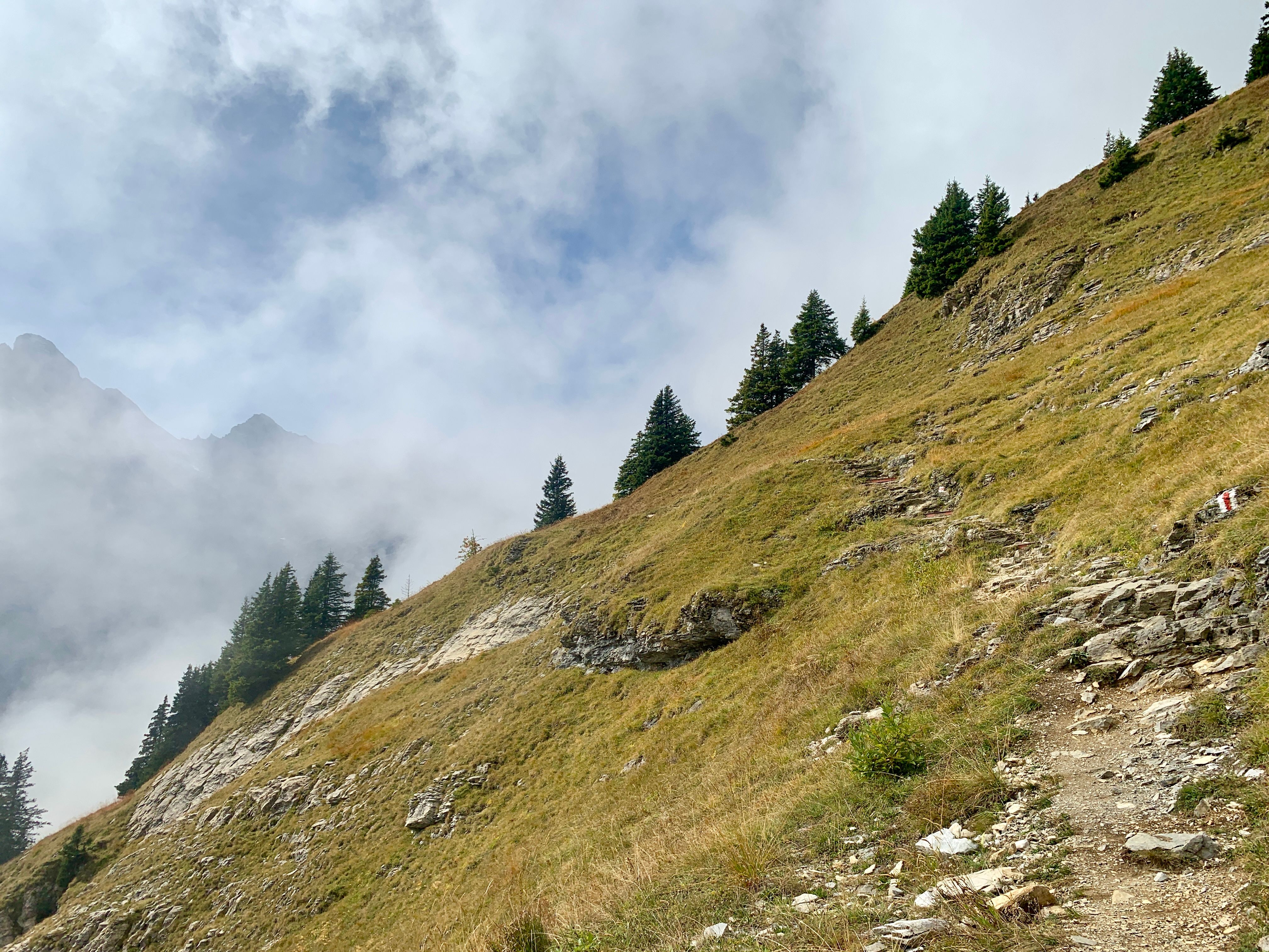
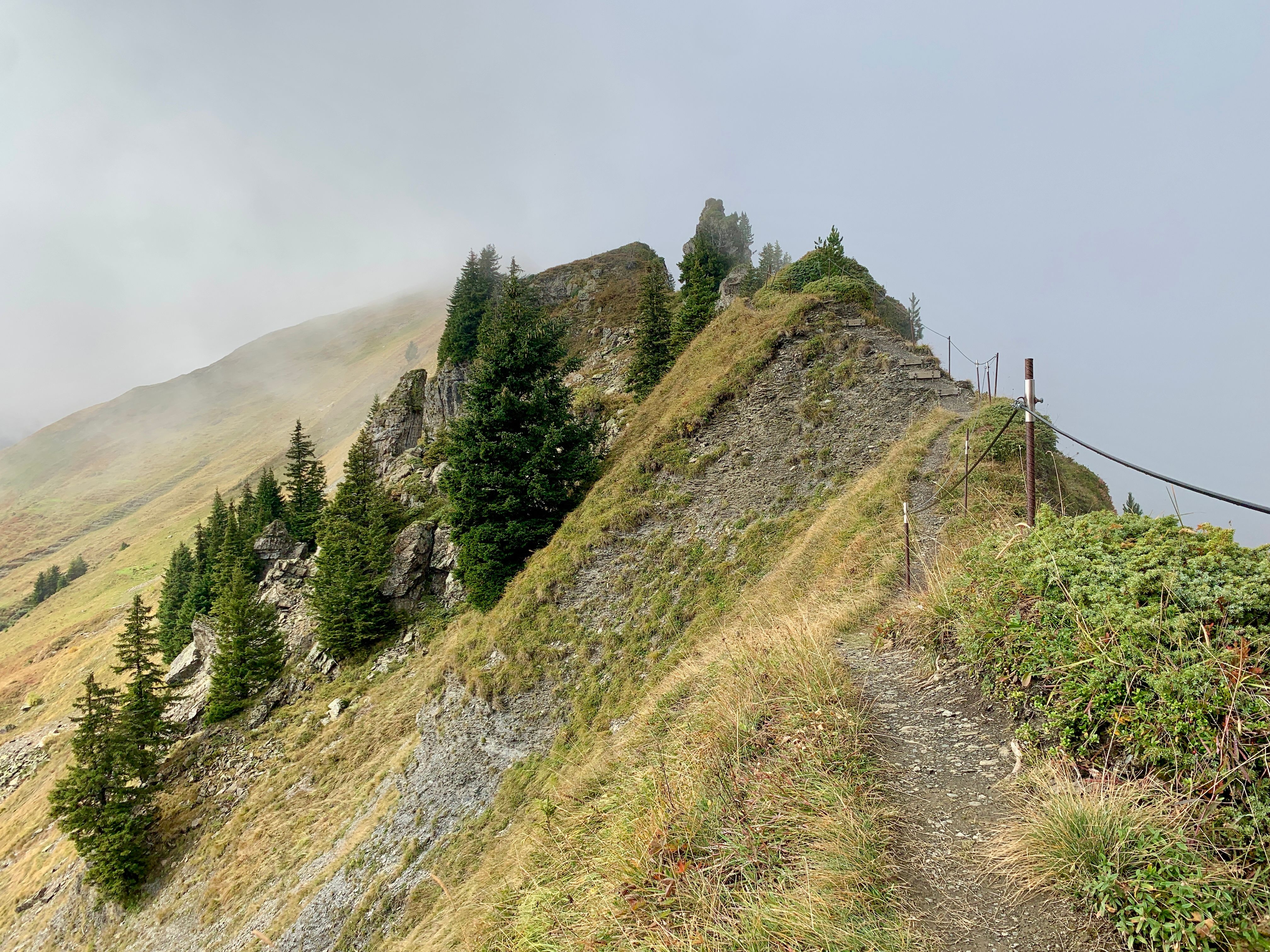
A bit further up there is an option to climb a ridgeline and walk along it, like a knifes edge.
 |
|---|
Far above the helicopters now, it’s interesting to see how they get supplies up to some of the more remote locations.
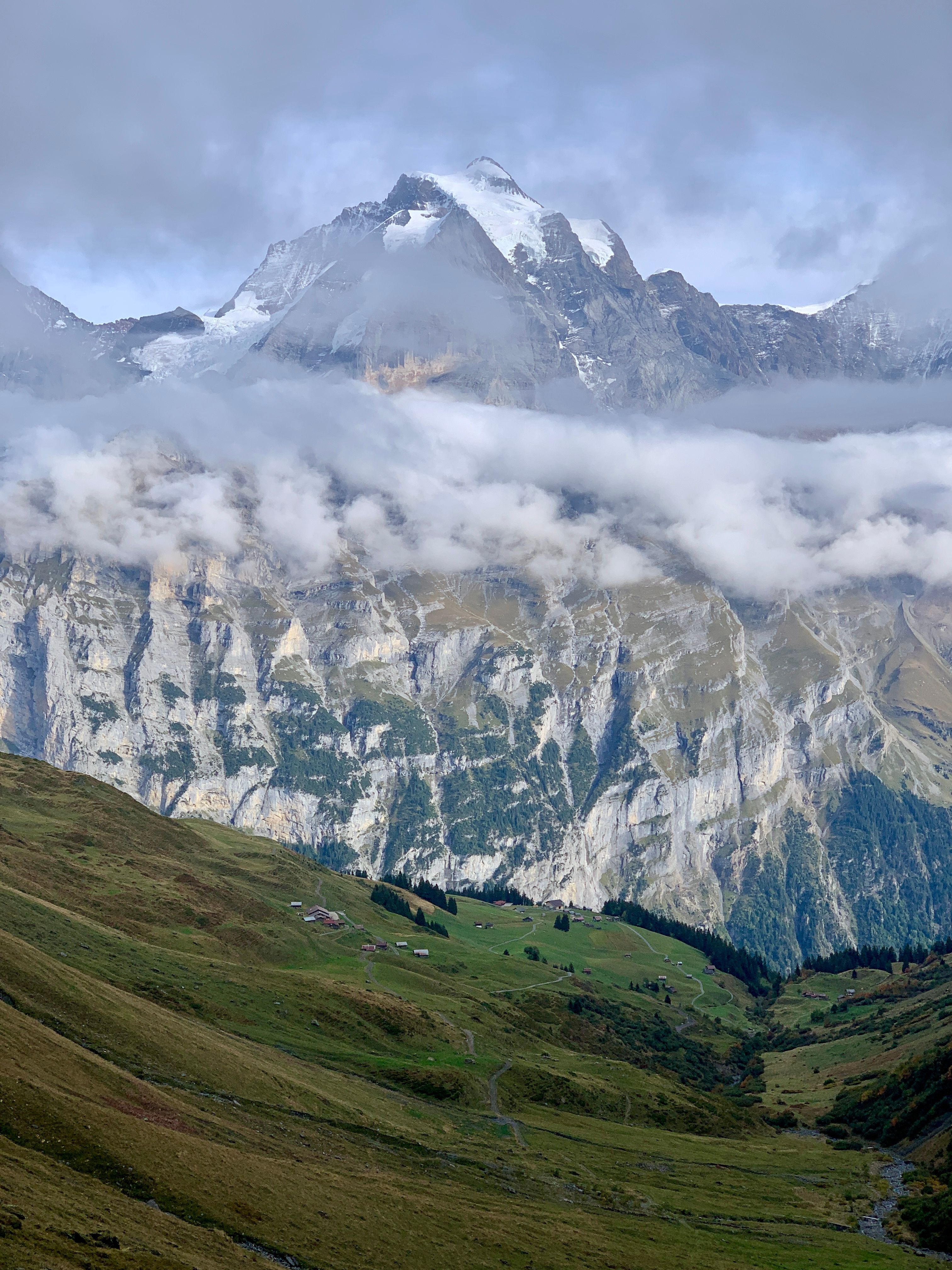
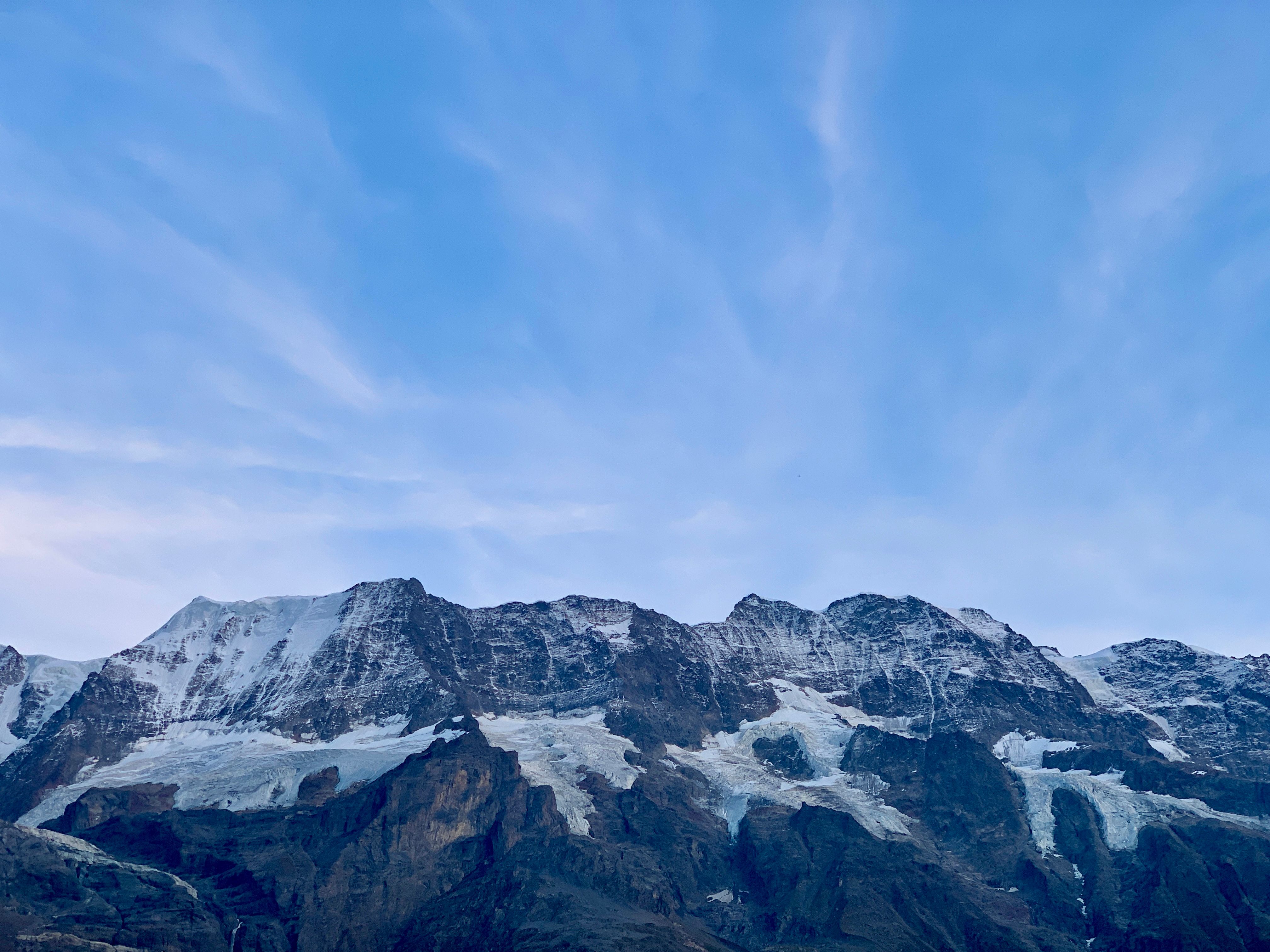
Mt. Eiger
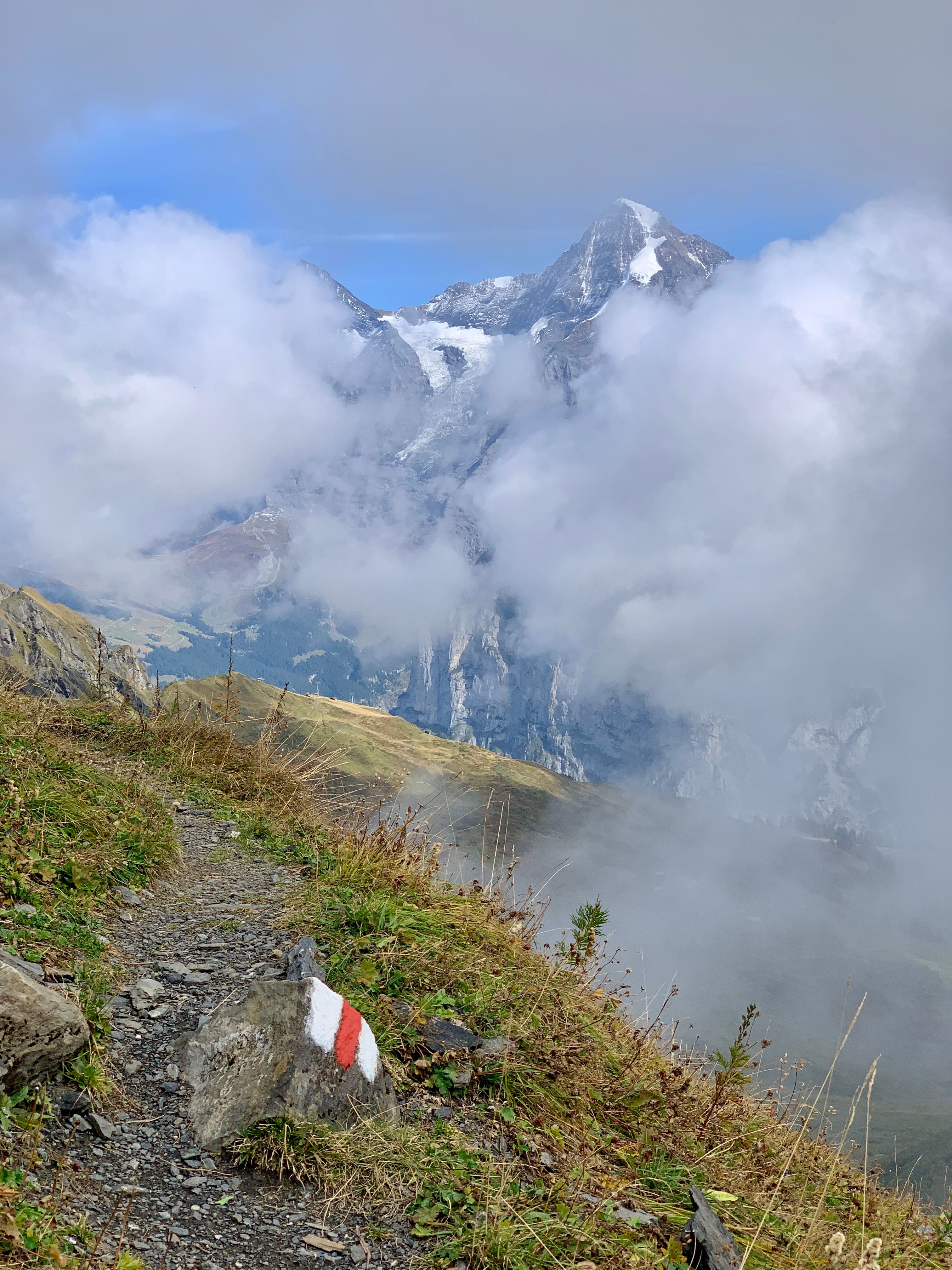
Getting up high now, starting to get cold.
Not as high as them, though.
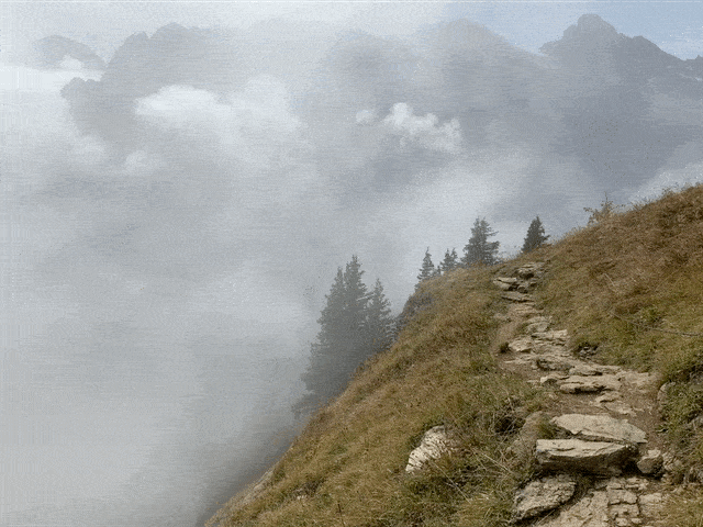
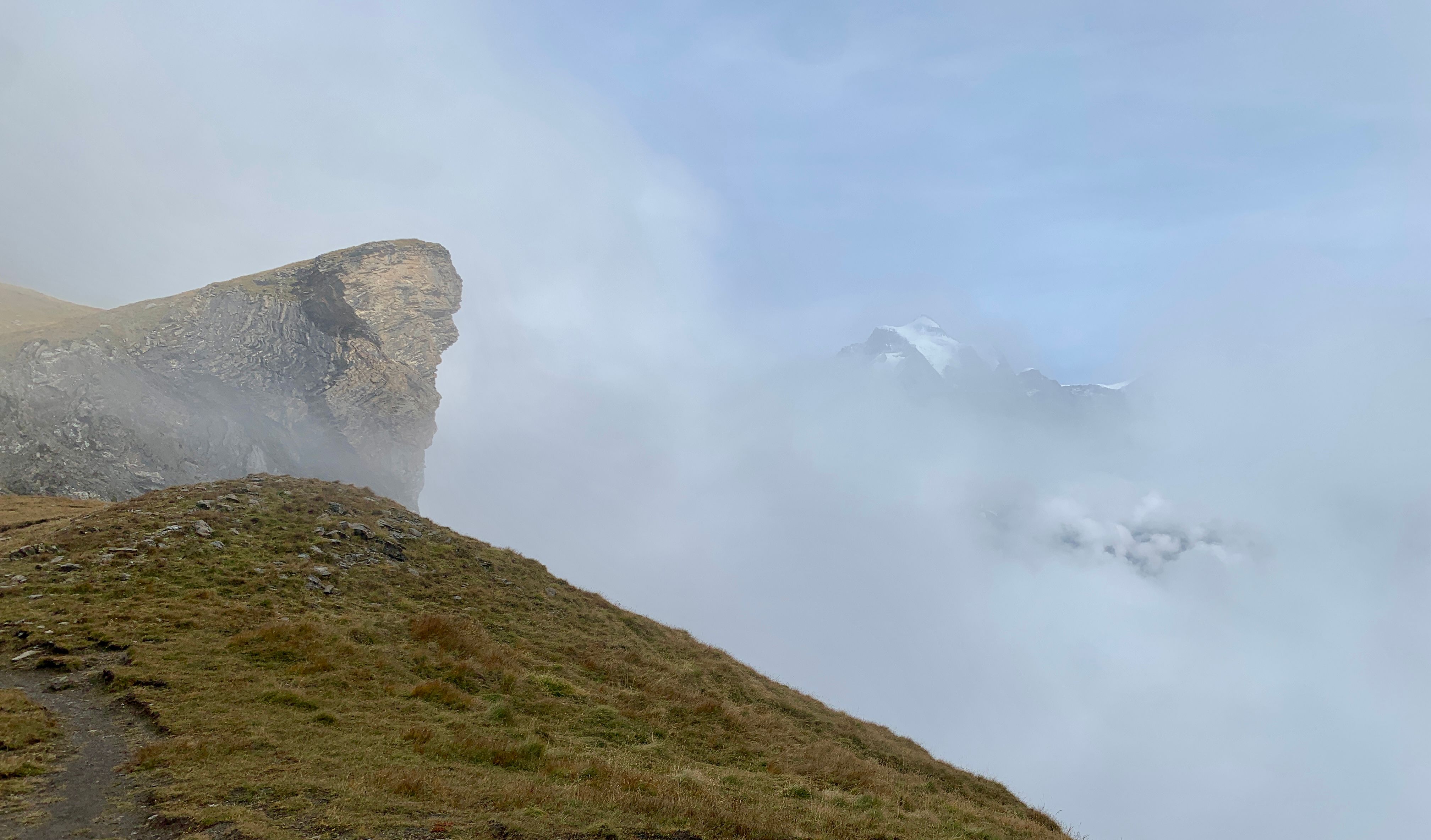
The clouds really came in at this point.
 |  |
|---|
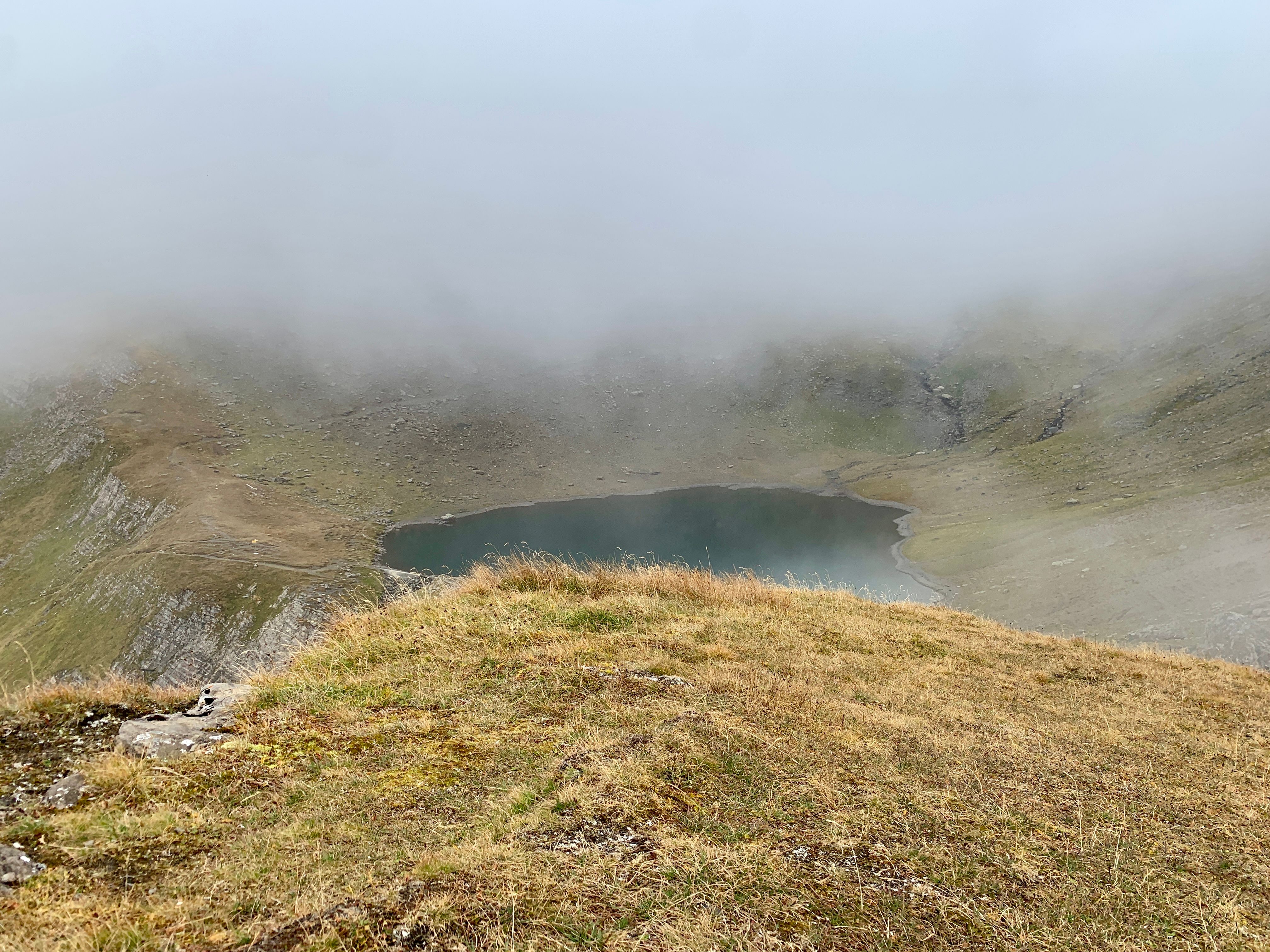
This small lake would make a good endpoint for today, the summit was now entirely covered in clouds with no real point in continuing up there, this was close enough for me.
 |  |
|---|---|
| Jungfrau | Murren |
The way down had some more incredible views. I took a detour to Murren for some food.
Some of the most mountain-y mountains I’ve ever mountained, for sure.
It wasn’t over yet, the next day I went over to Grindelwald, a town in the next valley over.